

The Comprehensive Source Apportionment Study for Johannesburg aims to build a scientific understanding of the city’s air pollution sources and their relative contributions. The project integrates gridded emission inventory development, ambient air quality sampling, particulate matter (PM) chemical analysis, receptor modeling, and air quality dispersion modeling.
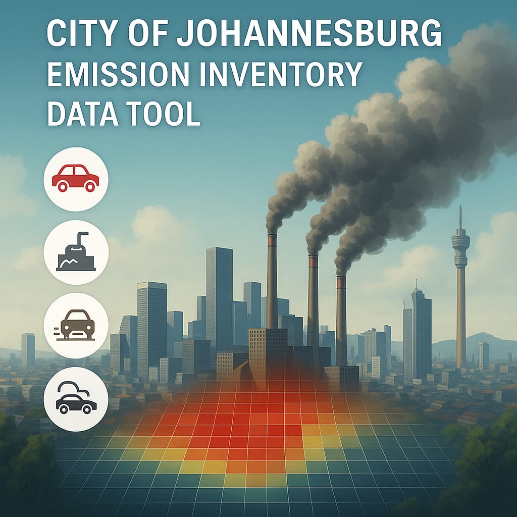
As part of the emission inventory, a GIS-based Decision-Making Tool was developed to visualize gridded outcomes, translating complex data into interactive, map-based insights. The platform combines spatial mapping, sectoral breakdowns (transport, industry, domestic energy), and temporal tracking to show where and when emissions occur and how they vary across the city.
These visualizations provide a strong scientific basis for air-quality management and policy, helping decision-makers, researchers, and communities identify pollution hotspots, target interventions, and protect public health.